Coyote Gulch,UT- April, 2007
Click here to go back to the Frontier Home Page.
Introduction note: My close friend Dave Martin from Park City, UT joined me for a backpacking trip through Coyote Gulch in Glen Canyon National Recreation Area of southern Utah. This is home to slot canyon country, but Coyote Gulch is far too wide to be called a slot. This is a famous scenic hike about an hour south of the town of Escalante, UT. There are several ways to do this hike, most require overnight camping in the gulch. Because of this, Spring is the most desirable season to do this hike; temperatures are moderate and fresh-water springs are flowing. Expensive shuttles can be arranged from the town of Escalante to permit a through-hike, but we opted for an in-and-out trip doubling back on our route.
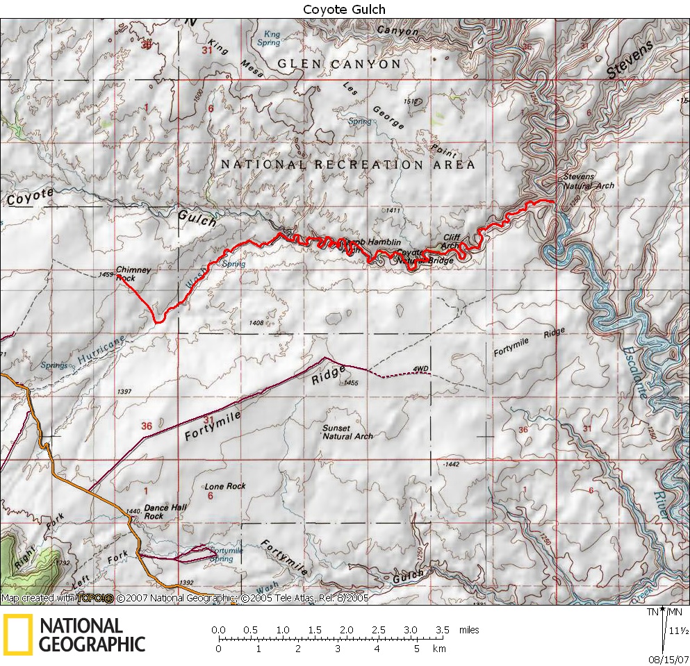
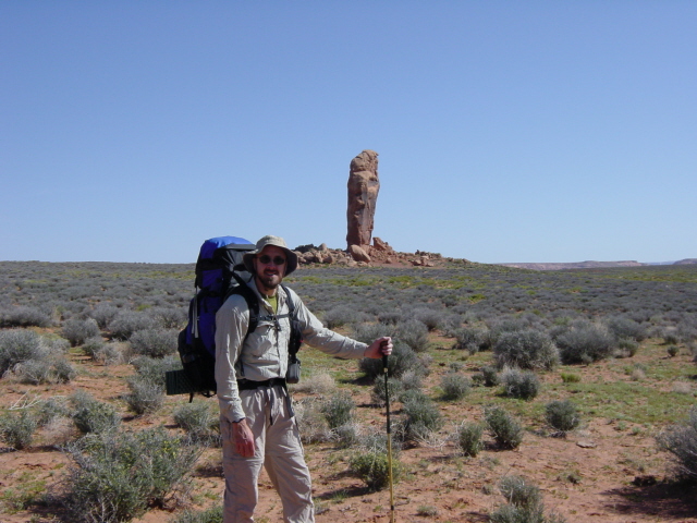
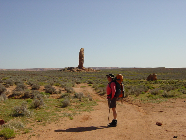
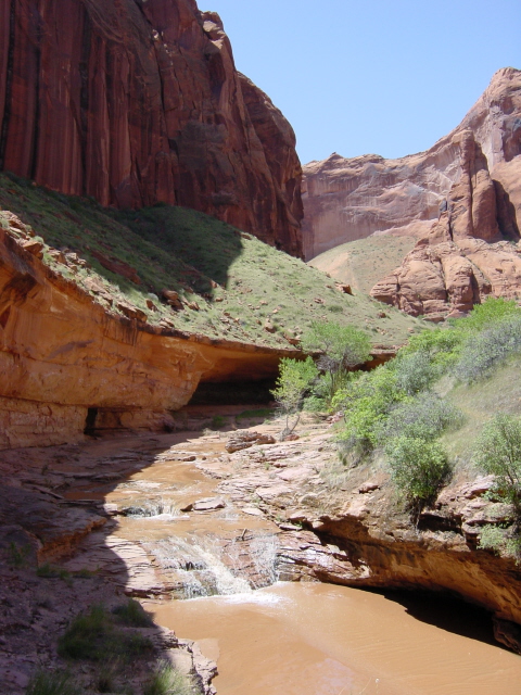
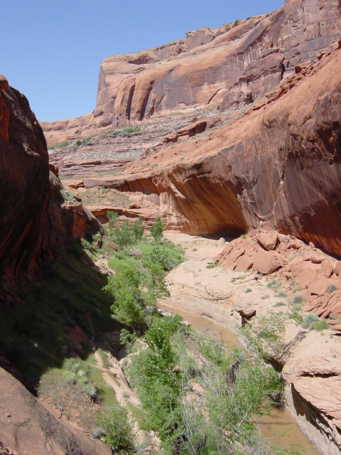
We car-camped Friday night on a plateau just above the confluence of Hurricane Wash and Coyote Gulch. Our campsite was guarded by a great sentinel named Chimney Rock. We woke to clear skies and warming temperatures as we crossed the plateau and descended the slick-rock down into Hurricane Wash which we followed to where it drained into Coyote Gulch four miles later. From this point on we would be frequently walking through the running water of Coyote Gulch, so we prepared to get our feet wet. Two miles later we reached the beginning of the named features of the Gulch which includes four arches and three waterfalls as it winds down to its junction with the larger Escalante River.
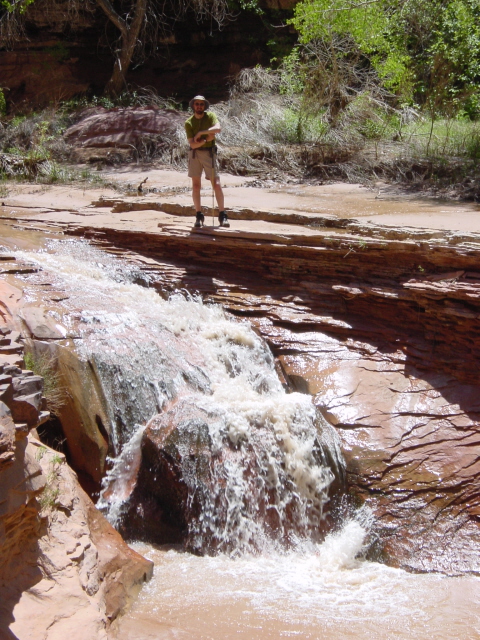
The first feature was Jacob Hamblin Arch, named for a Mormon settler. The trail doesn't actually go under this arch. A mile and a half later we walked under Coyote Natural Bridge. Two miles later we reached Cliff Arch hanging high above us from the canyon wall. This was also the location of the first waterfall in the gulch. This made for a great campsite with Cliff Arch above us and the waterfall next to us. We had covered nearly ten miles Saturday, so it made a good stopping point.
Sunday we broke camp, but left all our gear there and day-hiked the next 2.5 miles down to the Escalante River. It was a lot easier to scramble over the rock without the weight of our packs. We posed for photos by two other waterfalls and climbed out of the gulch a ways to get a glimpse of Stevens Arch in the distance. We later returned to our packs and began hiking out. We had originally planned on camping near Hurricane Wash and then hiking out in the morning. We stopped there and had an early dinner and decided to press on with the lure of cold beer awaiting us in a cooler in Dave's car pulling us all the way back to the car. After a nearly 15-mile day we car-camped again at Friday night's location and reflected on our hike over some cold beer. We then made the long drive back north Monday morning.
The weather and the hike were fantastic. This is a recommended trip for anyone, as long as you go in Spring.
Click on thumbprint photos to see them enlarged.
 |
 |
 |
 |
Joe by Chimney Rock. |
Dave mimicking Chimney Rock. |
Dave descending the slickrock into Hurricane Wash. |
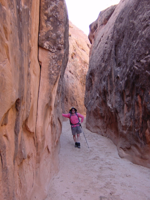
Dave in a hallway in Hurricane Wash. |
 |
 |
 |
 |
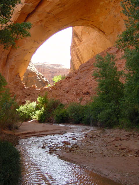
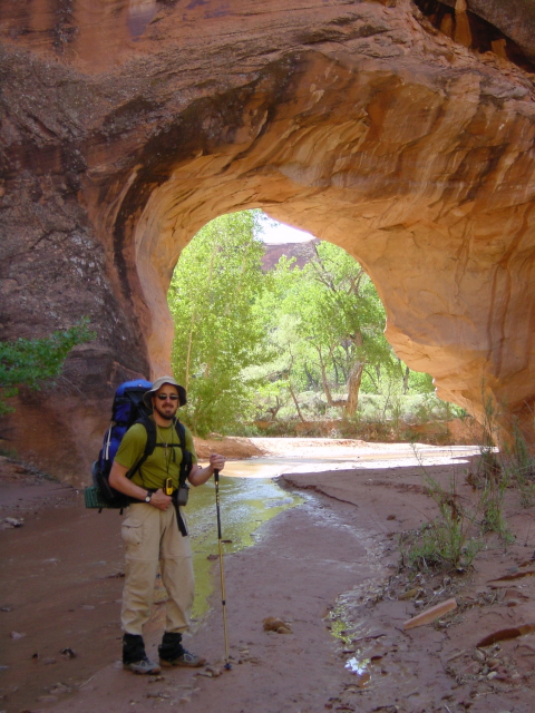
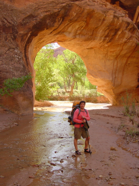
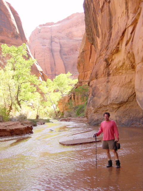
| Jacob Hamblin Arch. | Joe by Coyote Natural Bridge. | Dave by Coyote Natural Bridge. | Dave in Coyote Gulch. |
 |
 |
 |
 |
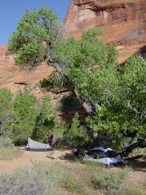
| Cliff Arch. | Campsite. | Dave in Coyote Gulch. |
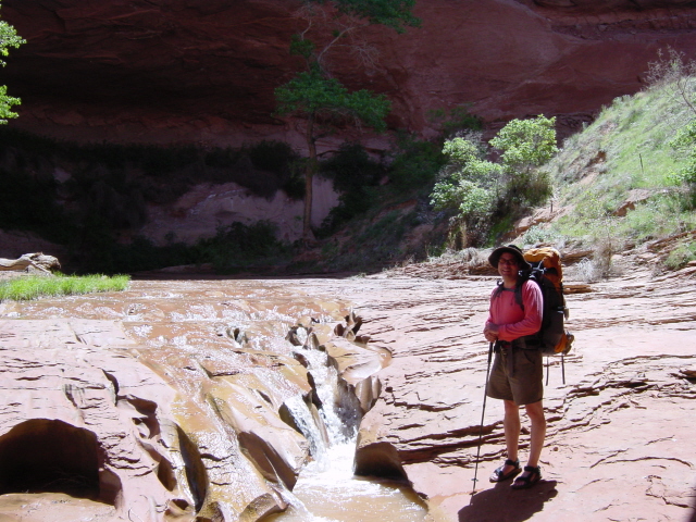
Joe by waterfall #2. |
 |
 |
 |
 |
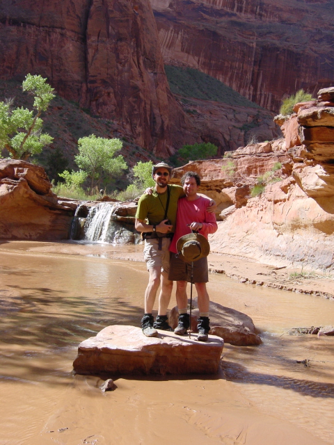
| Dave by waterfall #2. | Joe & Dave by waterfall #2. | Coyote Gulch. | Coyote Gulch. |
 |
 |
||
| Joe by waterfall #3. | Joe by watefall #3. | ||
 |
 |
 |
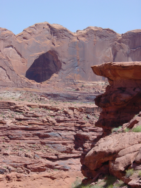 |
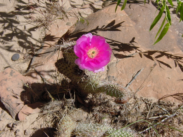
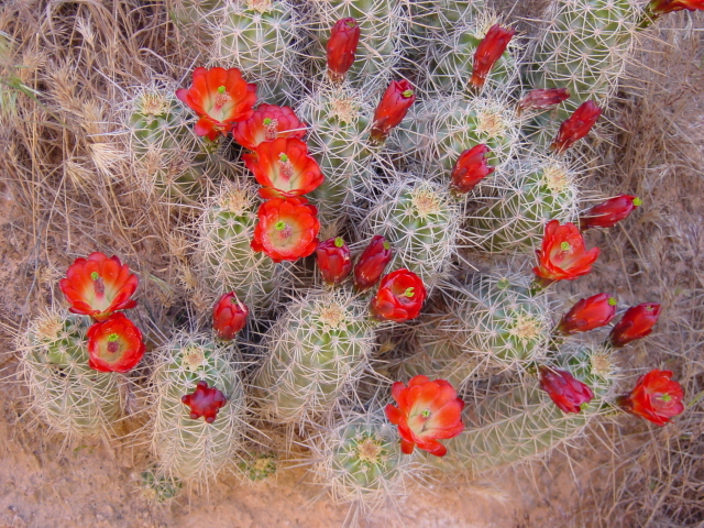
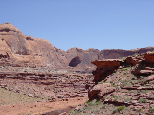
| Desert flower. | Desert flowers. | Stevens Arch. | Stevens Arch. |