AT Thru-Hike, New Hampshire 1997
Click here to go back to the Frontier Home Page.
Click here to go back to AT Home Page.
(161) Friday, August 29
Zero-mile day.
(162) Saturday, August 30
Zero-mile day.
(163) Sunday, August 31
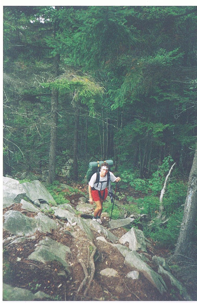
Thanks to Dave wanting to get an early start, we were hiking out of Hanover by 8:30 AM. The trail was fairly time for the first half of the day so Dave expressed an interest in going farther than the 10.6 miles I had planned. I was more than willing to put an early extra dent in our planned miles for the week so we pushed on to the next shelter. The problem is that the trail got more difficult in the afternoon, making Dave regret this decision. We reached a road 2.5 miles shy of the shelter, and Dave was spent. It was getting late and I would have had us stop right there, but there was no good water in the area. I left Dave behind with directions to the shelter and then pressed ahead to set up camp and get dinner started with what daylight remained. Dave showed up at the shelter nearly an hour after me as dusk gave way to night. He was a tired hiker.
Late in the day we crossed over Moose Mtn. and saw our first evidence of moose presence. There were moose tracks from a cow and her calf along with a healthy pile of moose droppings. Another hiker (Calves) had seen a bull moose just before the summit, hours earlier that day.
16.3 Miles Today, 1735 MTD
(164) Monday, September 1
It rained hard last night, but not until we were well asleep. And by morning the rain had ceased; more weather good fortune. I had altered our plans so that today's hike would be twelve miles, but even that proved too much now for a battered Dave. Smarts Mtn. was a considerable climb, and the descent was even harder on Dave's knees. We enjoyed lunch in the fire tower on Smarts Mtn. with a pleasant view.
When it was clear to me that the trip down the mountain was taking far too much time for Dave, I suggested pulling up short for the day. So I went on ahead to scout out a camp site near a water source. We lucked out with a perfect spot along South Jacob's Brook. It was a very pastoral setting for just the two of us.
10.5 Miles Today, 1745.5 MTD
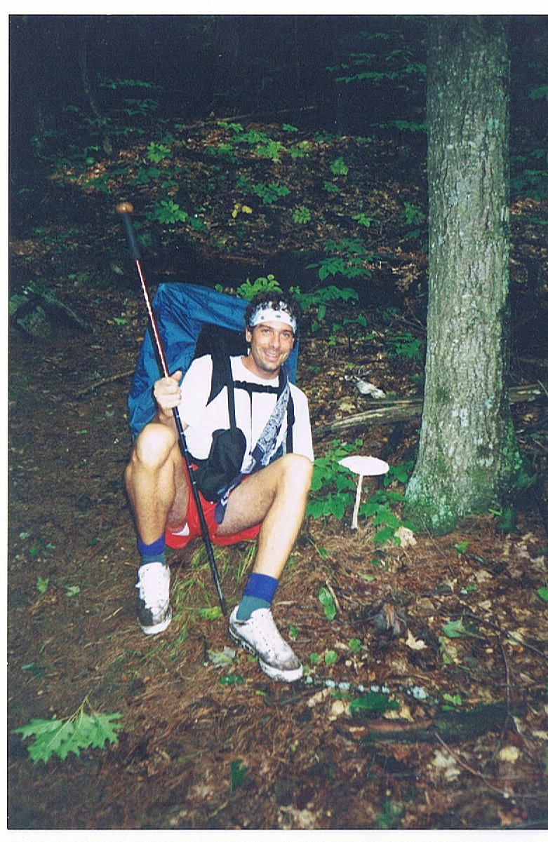
Click on thumbprint photos to see them enlarged.
(165) Tuesday, September 2
Today it became clear that Dave was not going to be able to make all of the planned miles to Franconia Notch. I began forming an alternate plan that would still have him climb Mt. Moosilauke, but then head into N. Woodstock via Kinsman Notch, 16.3 fewer miles than originally planned. This revised plan brought much peace of mind to both of us. I no longer had to worry about covering the miles and Dave didn't have me nagging him to go faster.
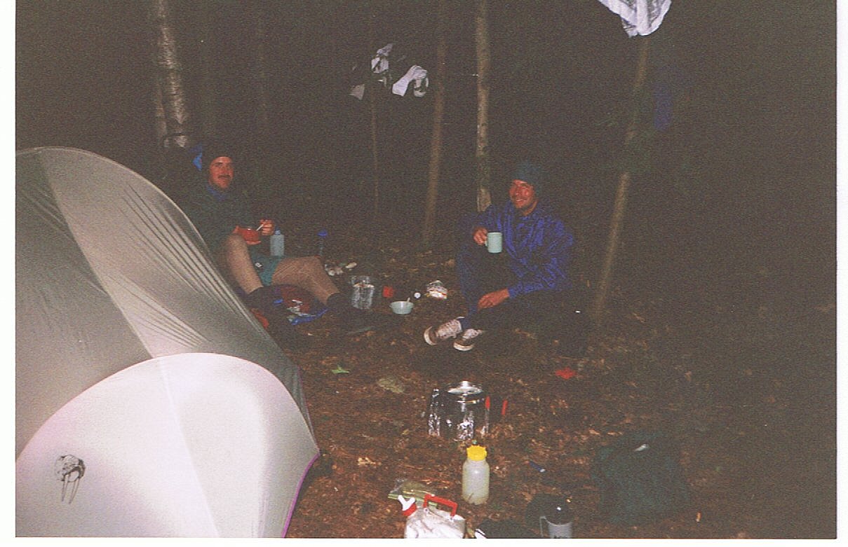
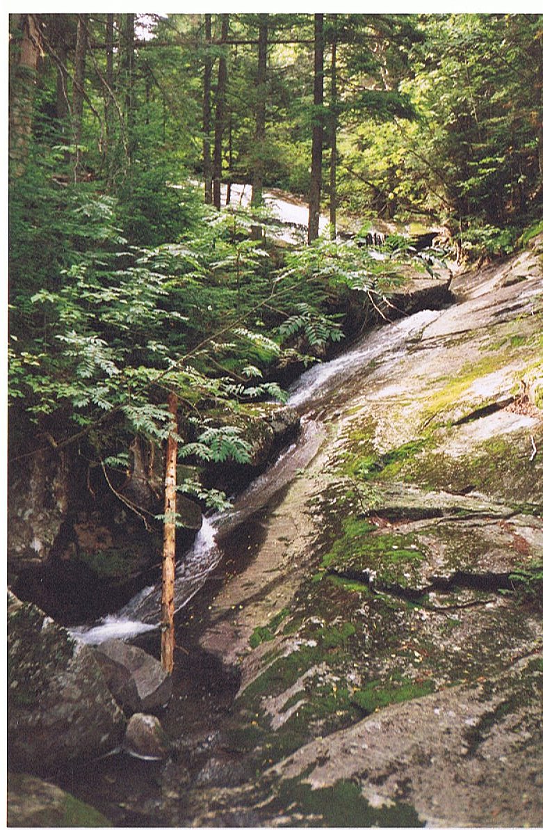
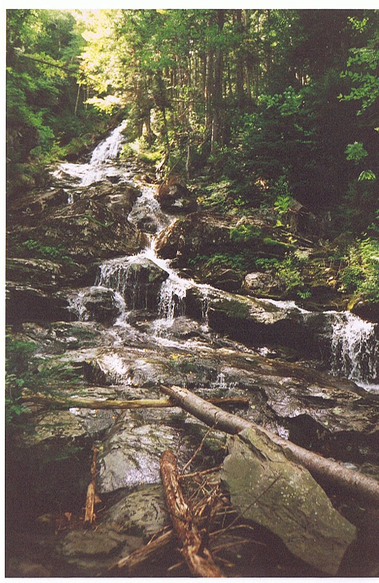
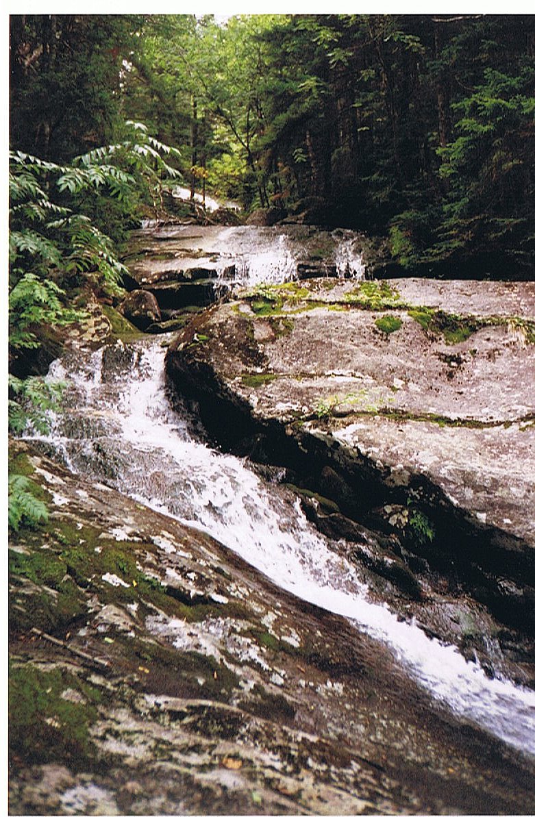
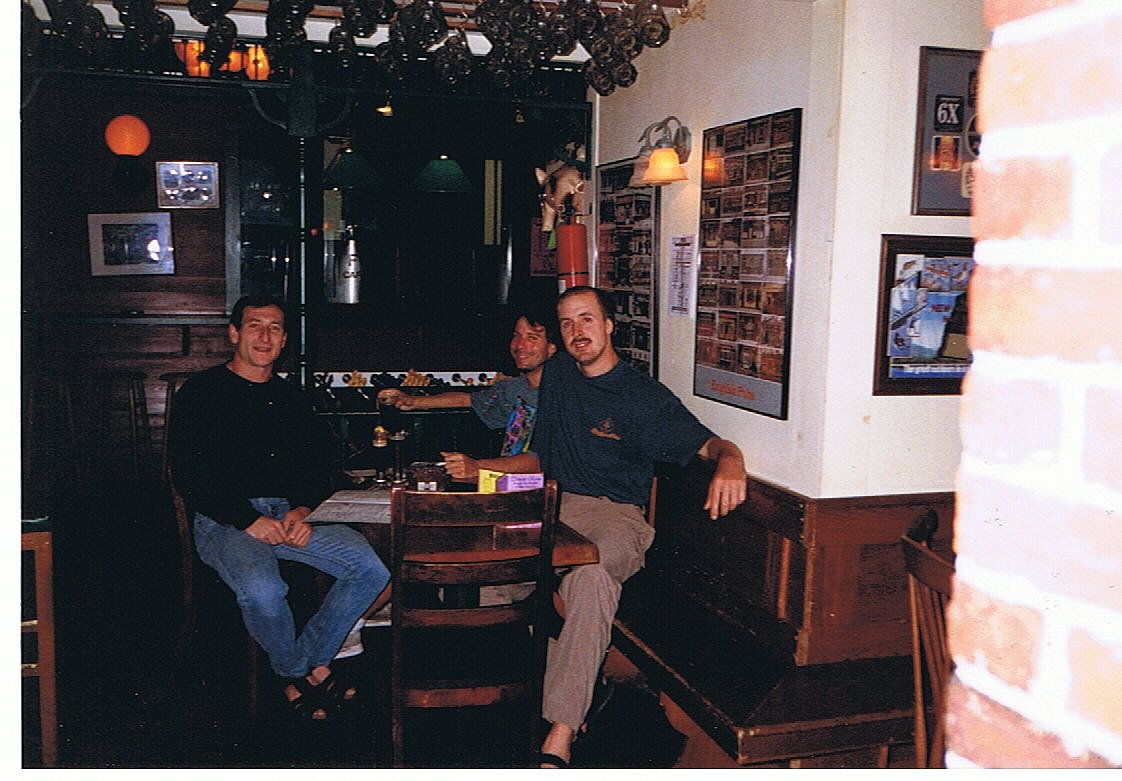
Today we climbed Mt. Cube and ended our day at Atwell Road. This was a very interesting campsite. Just off the Trail down this dirt road is an abandoned/condemned old house that the Park Service owns. The site has no water source and lacks all other appeal as a campsite, but a local friend to hikers "Dizzy B" makes it her mission to maintain the site for hikers. During the four or five summer hiking months she comes by EVERY night after work with jugs full of water. She also has firewood and coolers full of beer and soft drinks. She then just hangs out at the fire with us hikers and listens to our stories. In her mind she's thru-hiked a hundred times just by listening to the experiences of the rest of us. This camping spot with it's condemned building has been labeled the "Atwell Hilton" because of Dizzy B. It's hard to say what inspires her, but the hiking community is truly grateful.
8.2 Miles Today, 1753.7 MTD
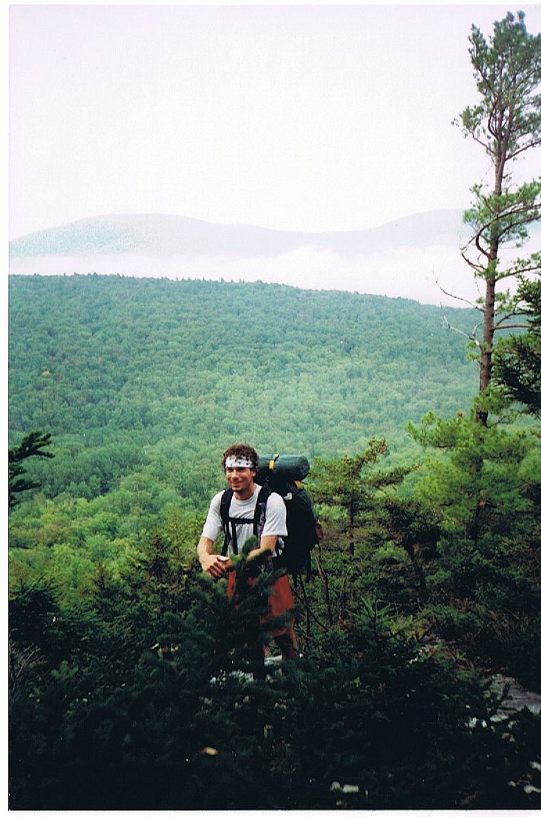
Click on thumbprint photos to see them enlarged.
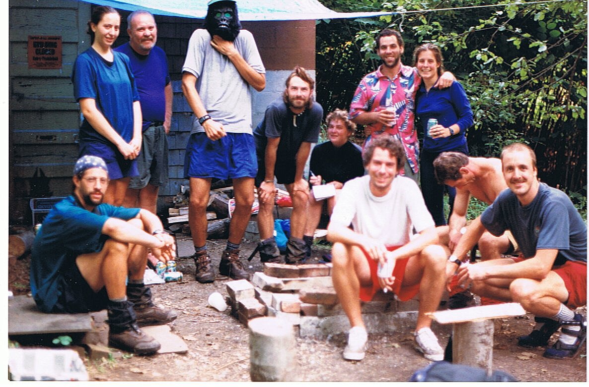 |
The Atwell Hilton--Speedy, Trailsnail, 180º, Bigfoot (the other one), Ripple, Cloudburst, Casey & Casey, Dave, Calves and the original Bigfoot (yours truly). |
(166) Wednesday, September 3
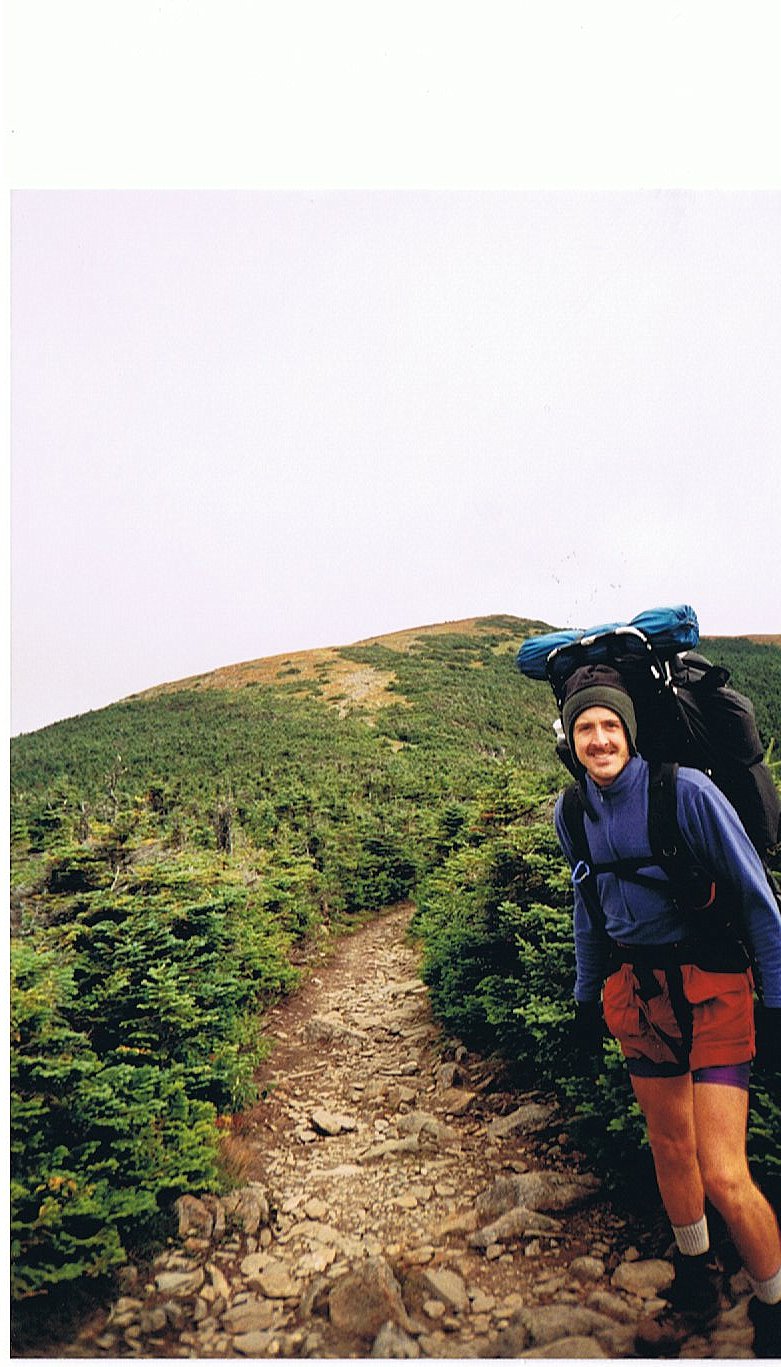
Today was a pretty easy day for the most part. Dave and I hiked to the base of Mt. Moosilauke to stage ourselves for his last day and our trip over the summit. Moosilauke is the first mountain I cross in the Whites. Everybody on the Trail is pretty excited about it.
Dave and I had a perfect campsite near Jeffries Brook as the weather really took a turn toward the cold. We put all our clothes on as we settled in for the evening. Calves joined our little party as we ate dinner and reflected on Dave's experience on the Trail.
9.1 Miles Today, 1762.8 MTD
(167) Thursday, September 4
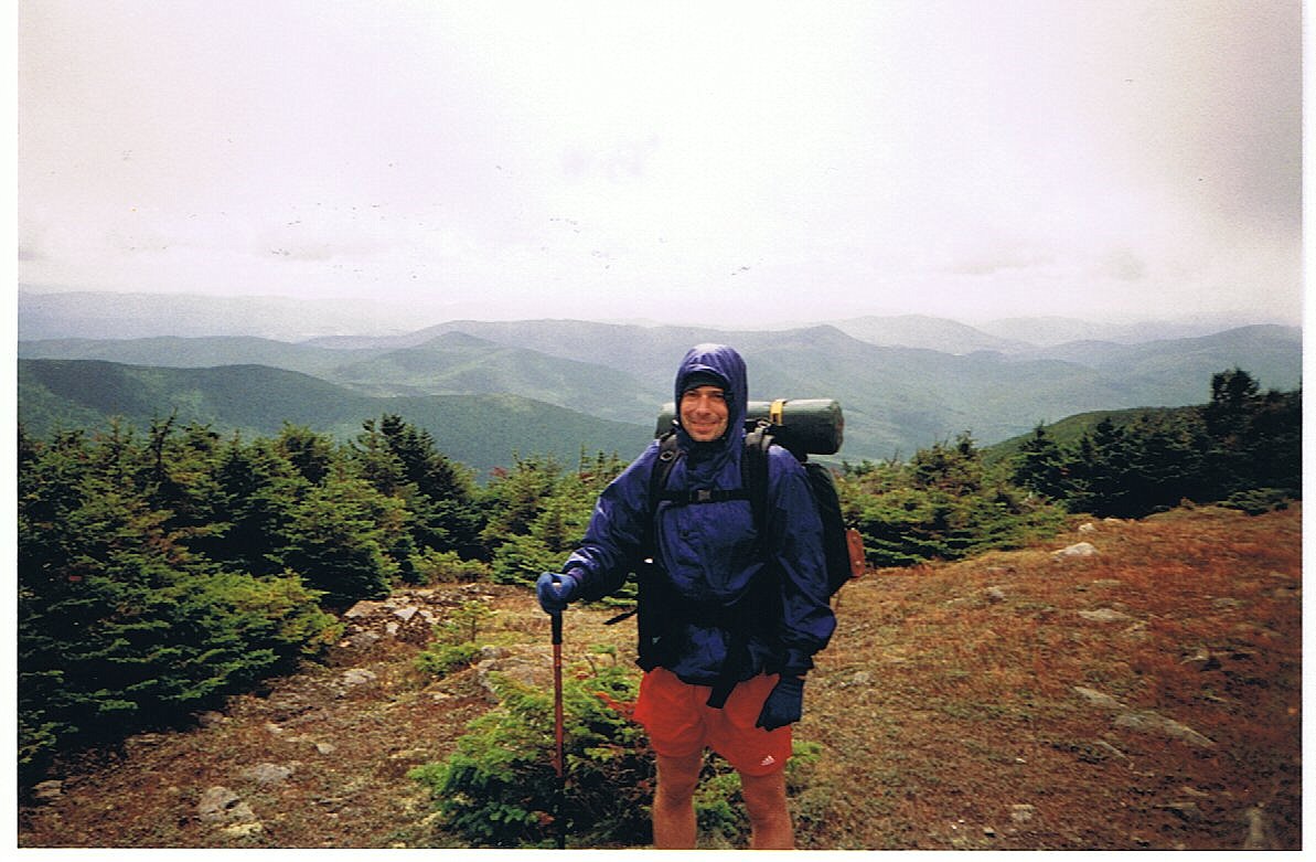
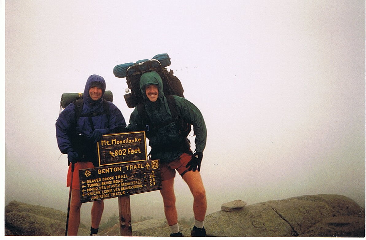
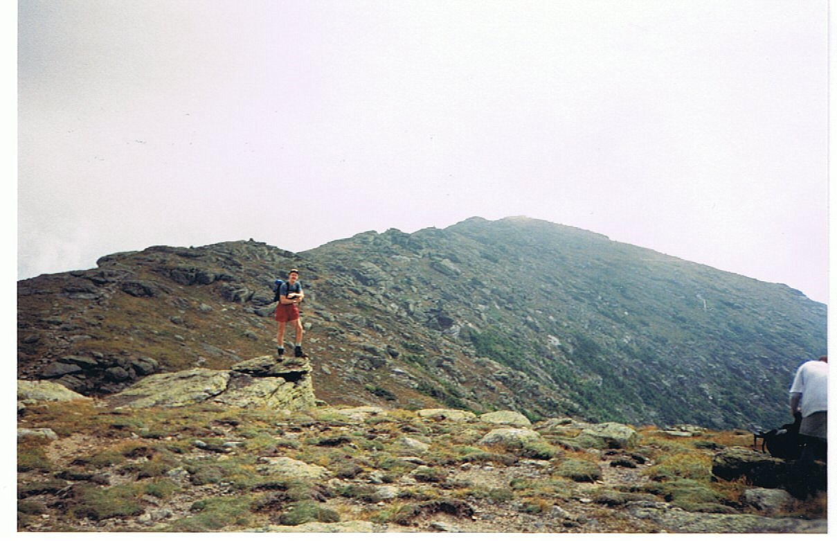
We climbed "The Moose!!" The ascent up Mt. Moosilauke wasn't really too tough. Dave did very well, even though it was a very long climb. As we neared tree line it was clear that it was going to be nasty on the summit. We stopped to put on extra layers before leaving the cover of the trees. As we approached the summit we were barely recognizable with how tightly bundled up we were. There was elation everywhere as other hikers reveled in their true arrival in the Whites. There was a lot of picture taking even though there was no view. It was bitterly cold with winds gusting over 40 and 50 mph. No one lingered too long on the summit.
As Dave and I began our descent it was evident that Dave was going to have to take it very slowly. I went on ahead and hitched into N. Woodstock to secure accommodations. It took Dave nearly five hours to descend the four miles down from the summit. I had been in town over three hours by the time he arrived.
Dave was glad to be finished and we enjoyed celebrating with good beer and food. Dave had hiked a very respectable 53 miles in five days. I later learned that Mt. Washington recorded a record low today. No wonder it was so nasty on Moosilauke.
8.4 Miles Today, 1771.2 MTD
Click on thumbprint photos to see them enlarged.
(168) Friday, September 5
Today I broke my long-standing rule against slack-packing . . . and I loved it. Since Dave had had enough hiking and I still needed to cover some miles, I was going to end up starting and finishing the day at our bunkhouse in North Woodstock. It just didn't make any sense for me to carry a pack when all I needed was lunch, water, and an extra layer of clothing.
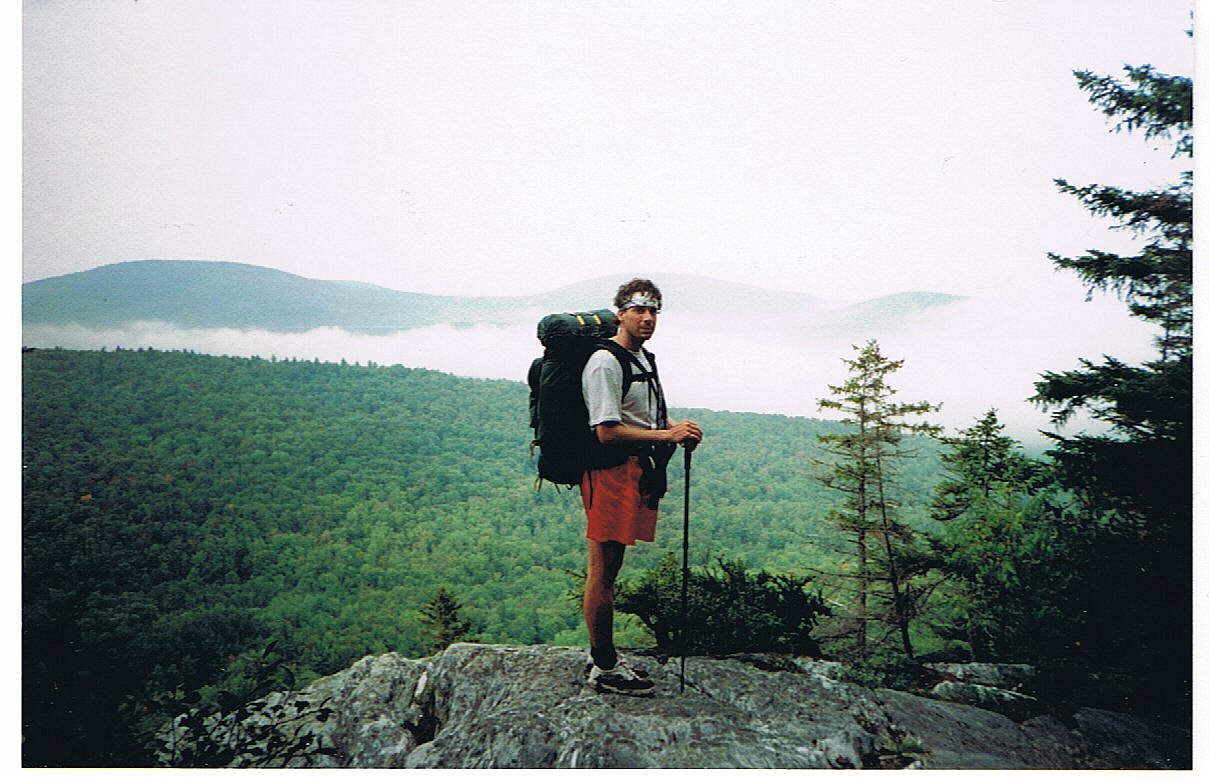
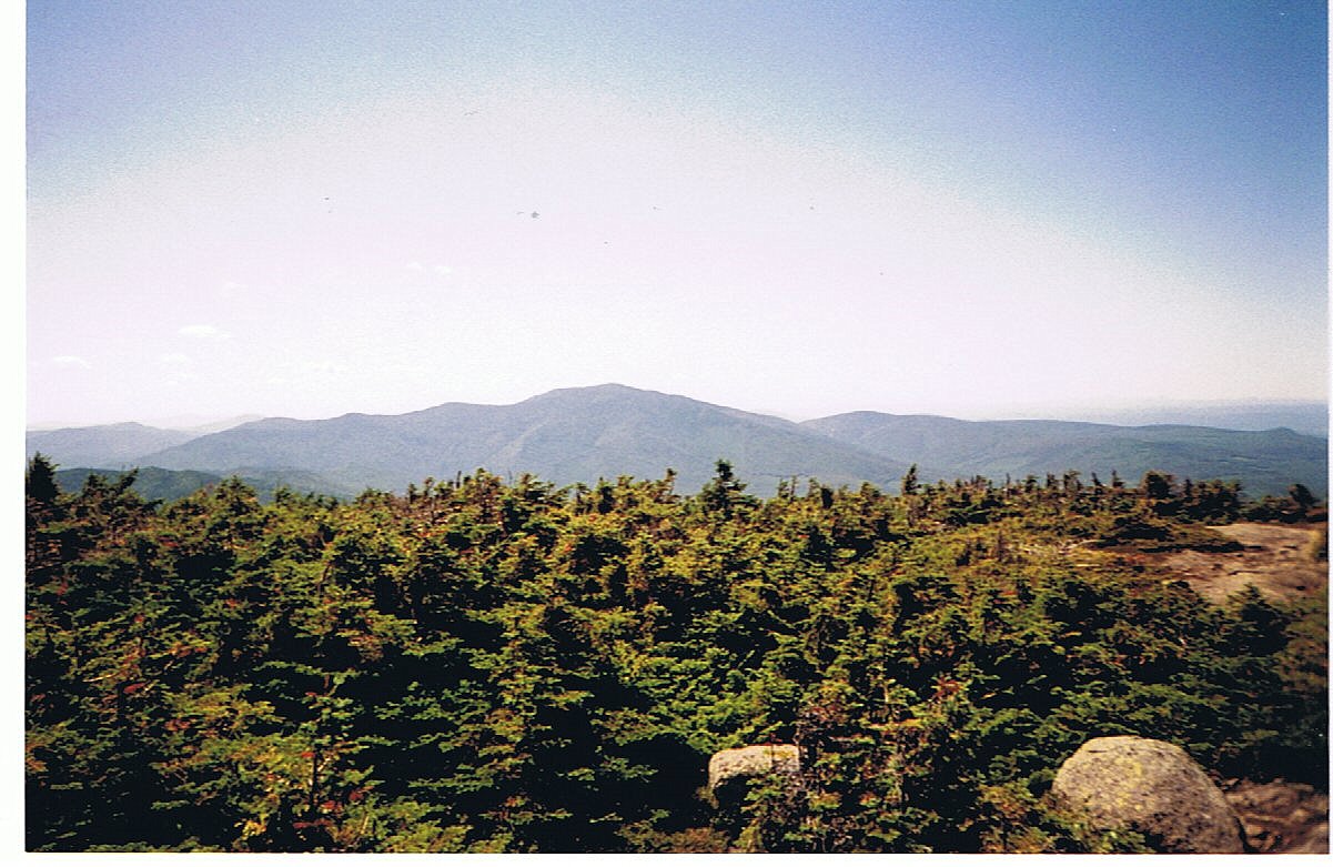
The section I hiked from Kinsman Notch to Franconia Notch included one of the most strenuous rock scrambles up to South Kinsman Peak. Without a heavy pack I was able to leap up the boulders and cliffs. I had spring in my step that seemed to make me feel unstoppable. I really got a rush being able to move so freely.
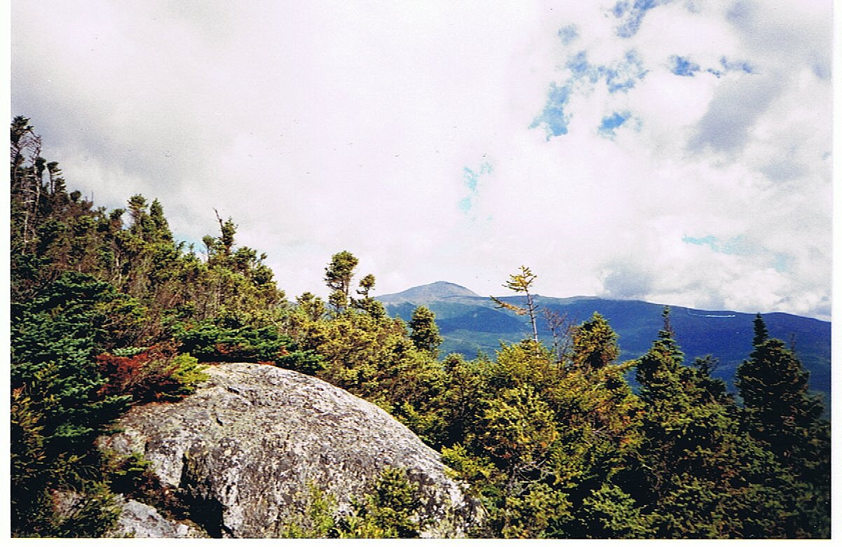
The day couldn't have been any nicer. The high pressure system that we had been awaiting had finally arrived, pushing all the clouds out and leaving the sky bright and clear. The wind was light and temperature cool, so the hike was perfect. The views from atop Mts. Kinsman were breathtaking. I was feasting on all the eye candy. I had a great view of Moosilauke to the south, and the whole Franconia Ridge was laid out before me to the east. I took extra long breaks on the summit to maximize my enjoyment. There were even a couple gliders dancing in the sky among the peaks. I returned to town that afternoon totally jacked up and excited about the rest of the Whites.
16.3 Miles Today, 1787.5 MTD
Click on thumbprint photos to see them enlarged.
(169) Saturday, September 6
Zero-mile day.
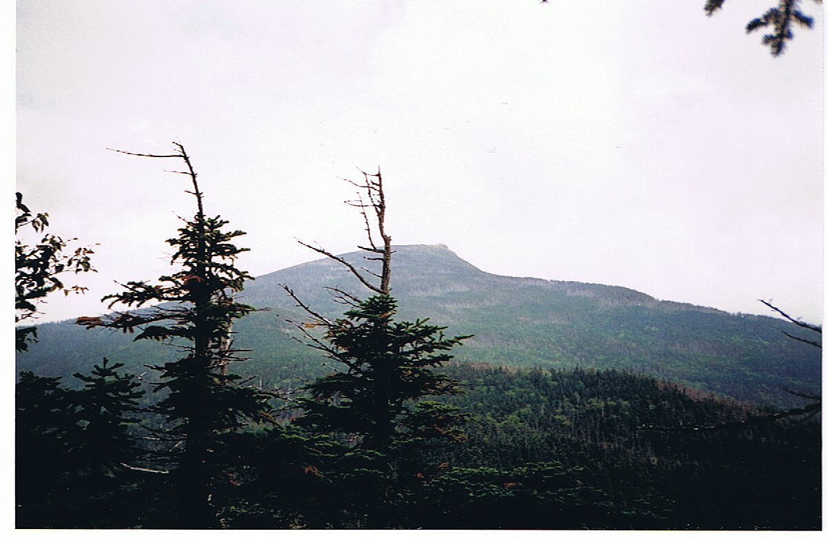
I rented a car and Dave and I drove up to Gorham to drop off my pack and excess gear so that I could go through the Whites with a daypack. The road trip to Gorham gave me my first views of Mt. Washington and the rest of the Presedentials. The Trail up there should be incredible.
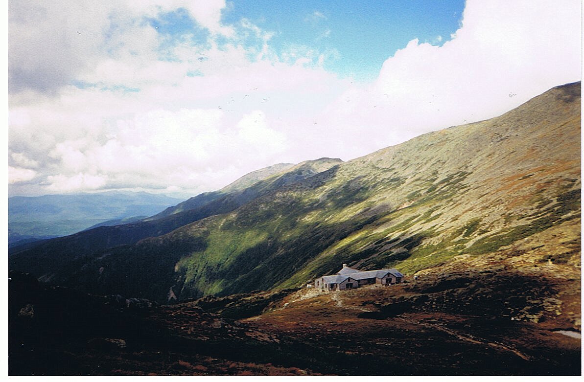
My slack-pack experience yesterday inspired me to take a different approach through the rest of the White Mountains. This is a notoriously challenging section so I was looking to gain an advantage. The Appalachian Mountain Club operates a network of huts and hostels through this section. They're spaced about 5-7 miles apart. They are staffed for the summer hiking season and provide primitive lodging and meals. The lodging consists of giant bunk rooms with wool blankets. The bunk includes dinner and breakfast served up family style. A stay in the hut system is very social and involves a lot of interaction with hikers just out on vacation. Using the huts meant that I could get away with just carrying a day pack. The lid of backpack is removable and works as a small daypack. I chose to carry my rain jacket, long-johns for sleeping, a liter of water, my camera and a bunch of Power Bars.
I planned my reservations in the huts so that I would skip over one each day around lunch time and be able to stop and buy some food to add to my Power Bars. This plan should allow for a quicker and more enjoyable trip through the Whites.
Click on thumbprint photos to see them enlarged.
(170) Sunday, September 7, 7:30PM
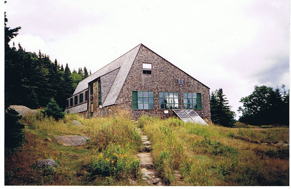
This is my first night in the huts. I just finished having dinner here at Galehead Hut. I can't believe how they squeeze over forty hikers into this tiny cabin. The bunks go four high and the lights are all central lp gas. The three-person crew runs a tight ship. Most of the guests are just vacationers, but the crew knows how to take care of the thru-hikers.
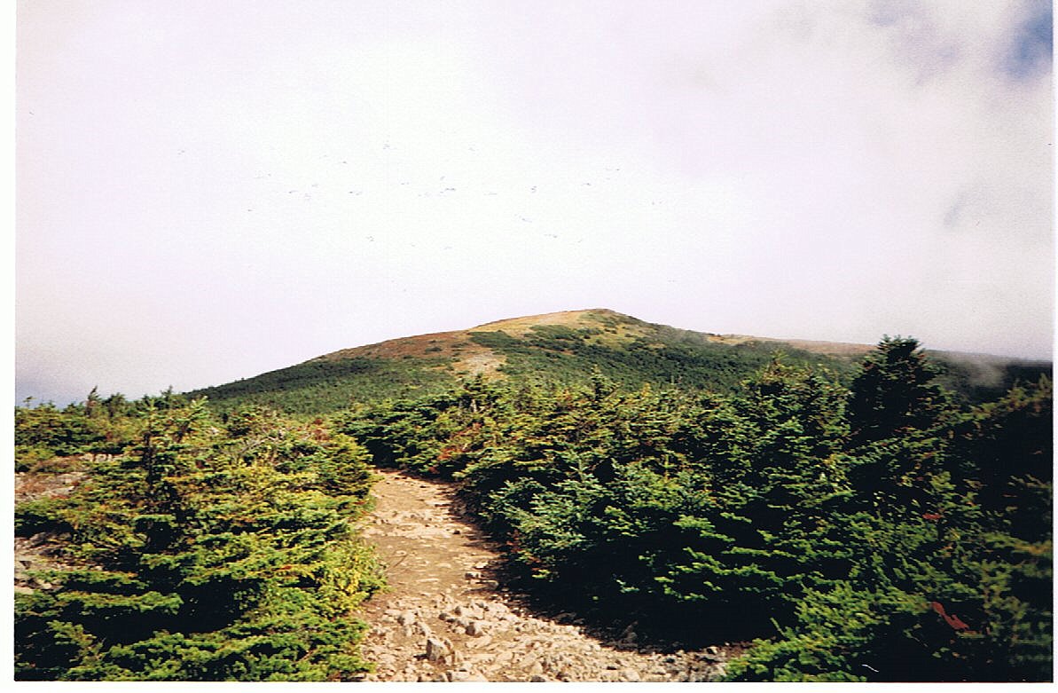
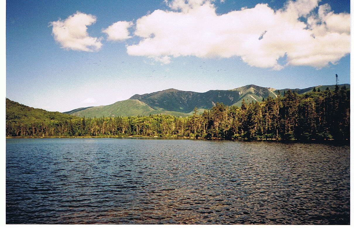
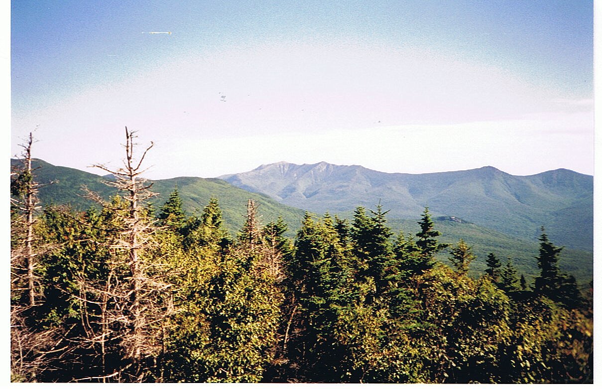
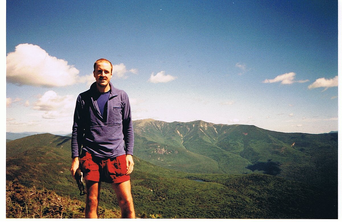
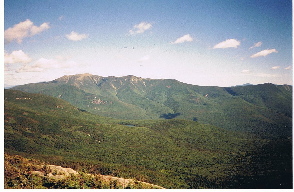
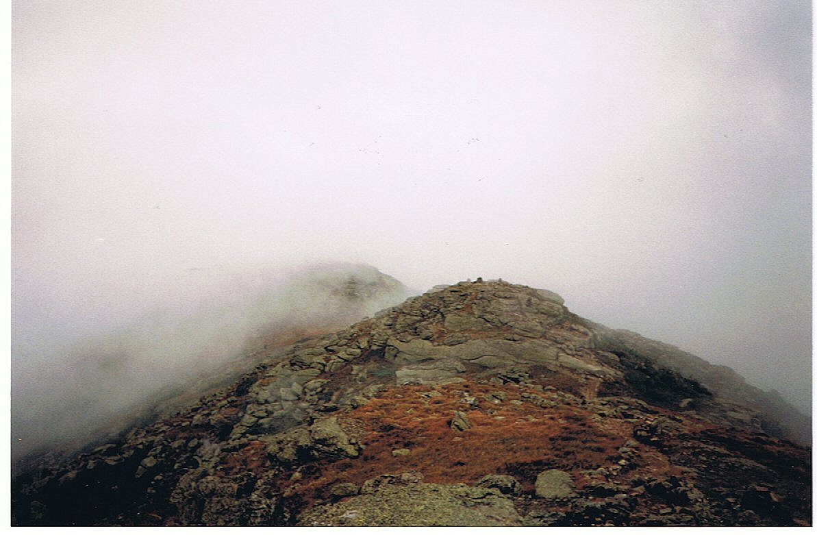
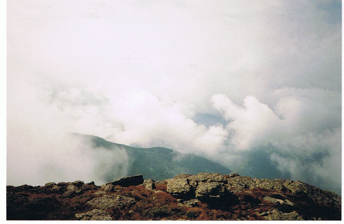
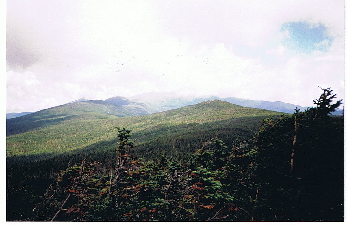
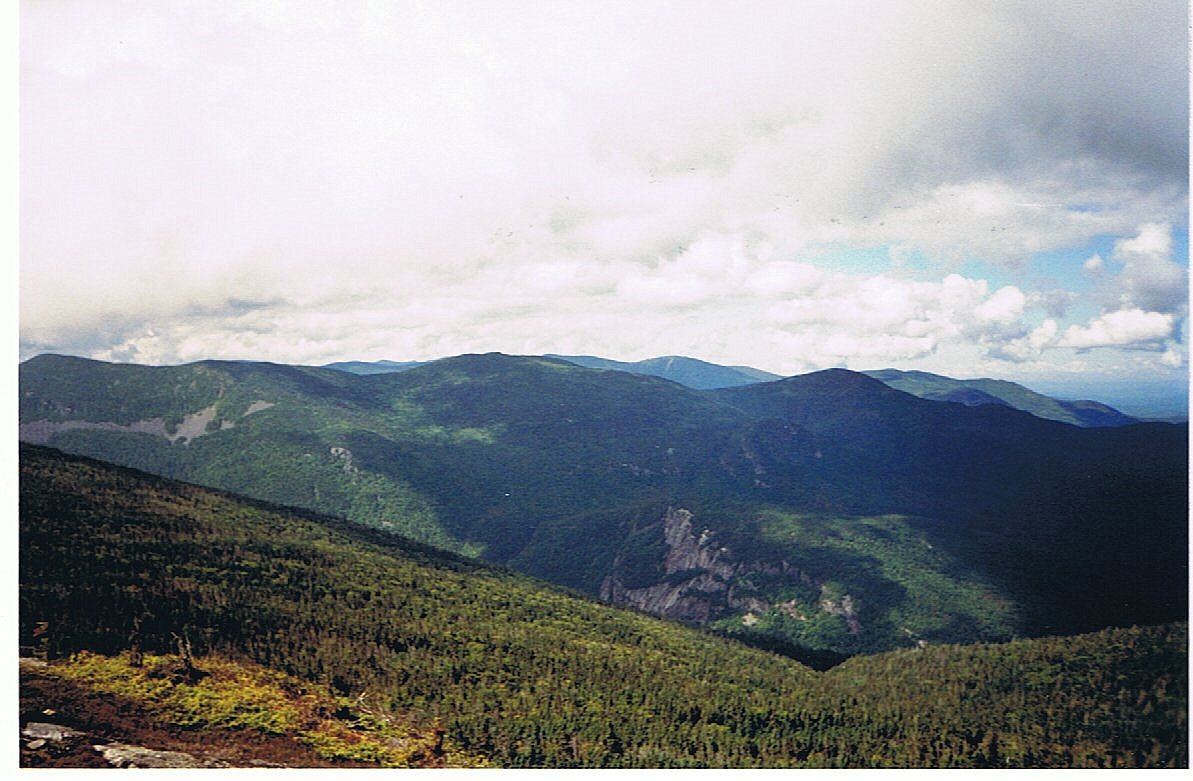
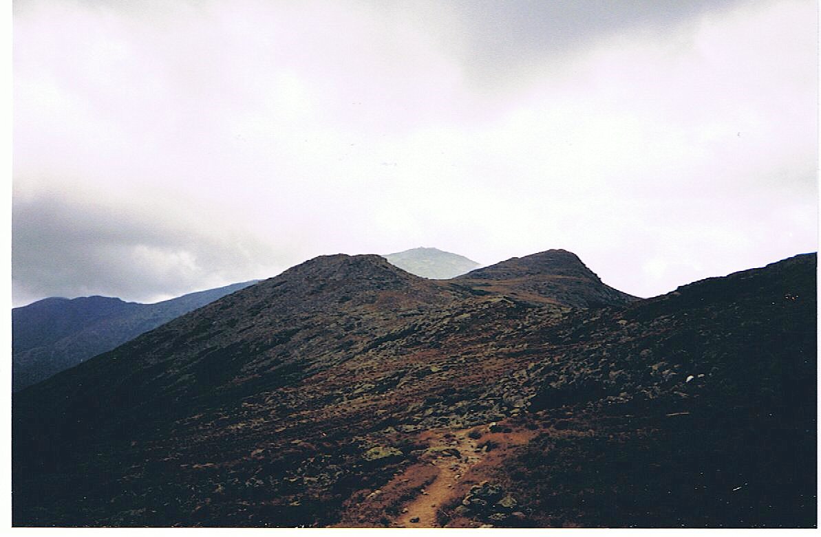
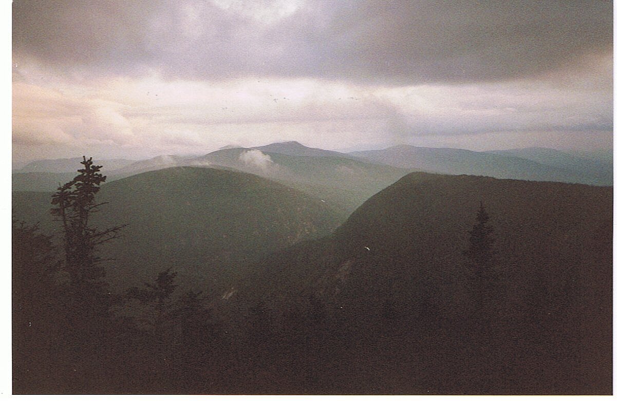
I dropped Dave off at the airport this morning and then returned the rental car before hitching up to Franconia Notch. I was back on the Trail at 10:00 AM and covered the tough distance today by 4:30. I'm so glad that I'm hiking with a light pack through the Whites! I reached the Franconia Ridgeline just north of Liberty Mtn. The ridge then took me over the summits of Little Haystack, Mt. Lincoln, and Mt. Lafayette before turning east onto the Garfield Ridgeline and crossing the summit of Mt. Garfield. All the summits were above treeline as was most of the Franconia ridge walk. Unfortunately the trail was blanketed in fog nearly the whole day. Shortly after summiting Lafayette (over 5200 ft) the sky briefly opened to reveal some magnificent views, and much of my break on Mt. Garfield included a great view of the Pemigewessit Wilderness. The rain held out until my last mile or two of the day, so I arrived at the hut only a little damp.
13.0 Miles Today, 1800.5 MTD
Click on thumbprint photos to see them enlarged.
(171) Monday, September 8, 7:15PM
Today's miles were much easier compared to yesterday. After a wimpy breakfast at the hut I rushed up Twin Mtn. to take in the view while it lasted. While I rested at the summit I watched a cloudbank completely envelop the mountains, and it was only 8:30 in the morning. That was most of my view for the day.
I then cruised on down to Zealand Falls Hut for lunch to make up for the unsubstantial breakfast. The rest of the day was easy hiking down to Crawford Notch. I'm staying at a hostel here before ascending toward Mt. Washington tomorrow.
14.7 Miles Today, 1815.2 MTD
(172) Tuesday, September 9, 4:00PM
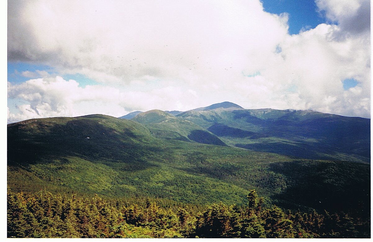
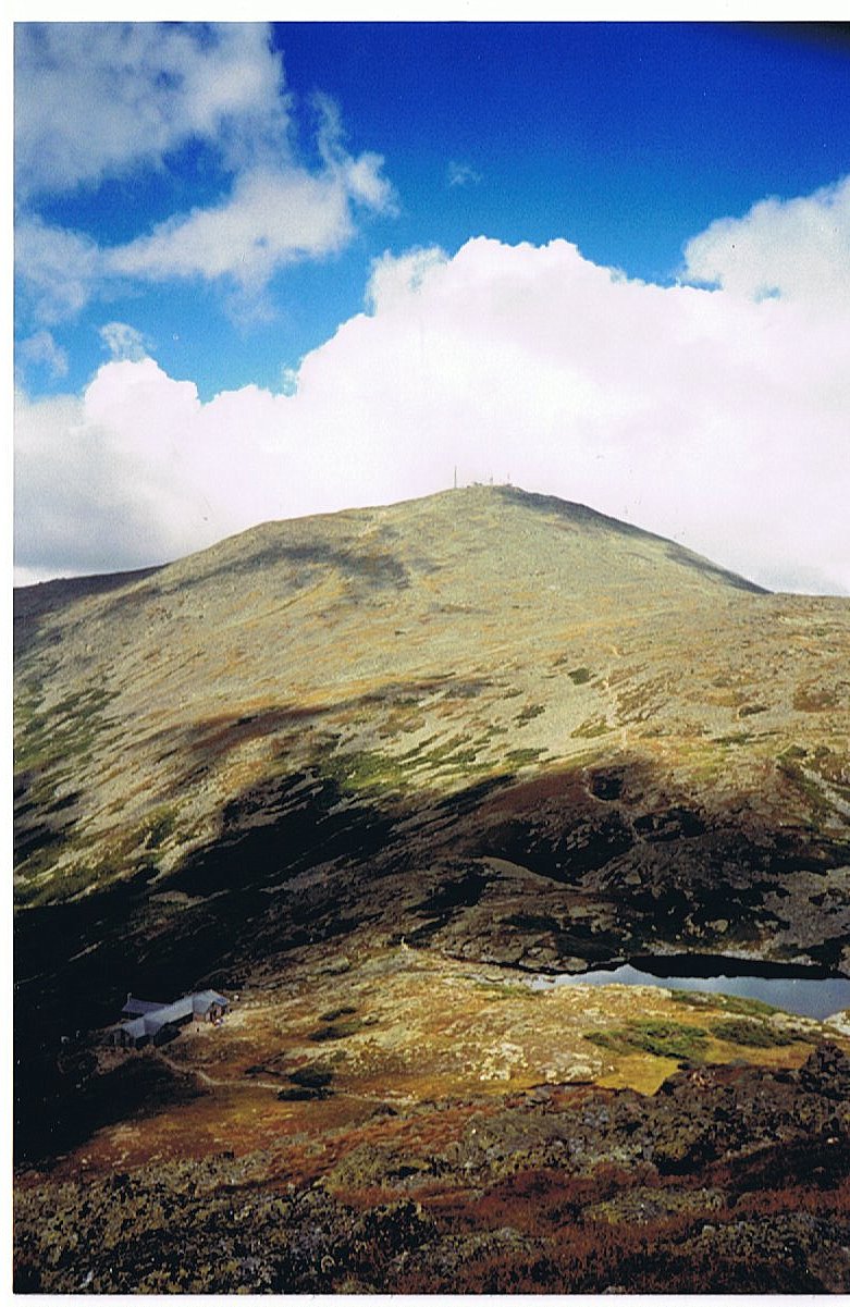
What a spectacular day!!! I'm at Lakes of the Clouds Hut just 1.4 miles below the summit of Mt. Washington. I had a nice stay at the Crawford Hostel and hit the Trail climbing by 9:00AM. I climbed many summits today: Mt. Webster (3910'), Mt. Jackson (4052'), Mt. Pierce (4310'), Mt. Eisenhower (4761'), Mt. Franklin (5004') and Mt. Monroe (5385'). Tomorrow I'm left with a 1300' climb to the summit of Mt. Washington (6288'), the highest peak in New England.
The sky was very cloudy today, but the ceiling was mostly above 6000' so there were plenty of views and an occasional ray of sunshine. I saw my first moose today during my early morning climb. It got my attention as it made its noisy exit from the area, but I never got a great look. I had some incredible views along the Webster Cliff Trail looking down into Crawford Notch and up to Washington. I stopped for lunch in the Mizpah Spring Hut and continued along the Crawford Trail to my destination here.
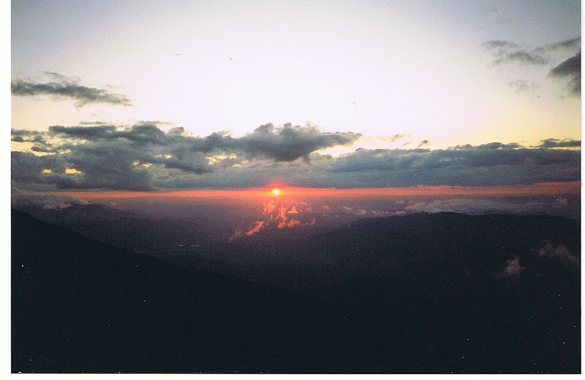
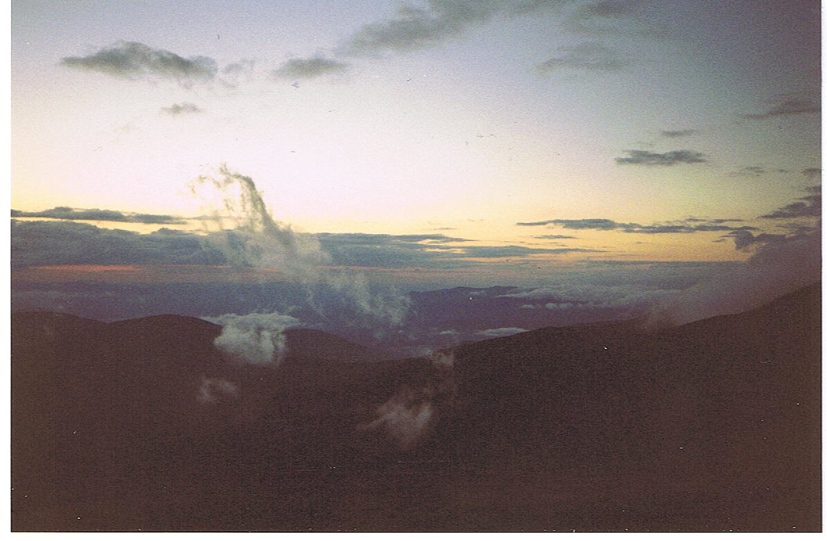
Mt. Washington may not be so terribly high compared to western U.S. peaks, but it is known to be home of some of the nastiest weather in the world. The weather station on the summit measured the highest surface wind speed ever recorded on Earth (231 mph); the average wind speed is 35 mph. The average year around temperature is 27 degrees with a low of minus 47. All of this combined with the fact that the summit is socked in clouds 60% of the time, makes for some interesting rime-ripe weather.
After Mt. Washington I continue through the northern Presedentials for another spectacular day . . . weather permitting. This afternoon’s hike as well as tomorrow morning’s entire hike is above tree line in exposed alpine terrain. I was fortunate today that the wind and temperature were moderate. I was able to hike in my shirtsleeves all day, but it wouldn't have taken much worse weather to make the hike pretty nasty.
11.2 Miles Today, 1826.4 MTD
Click on thumbprint photos to see them enlarged.
(173) Wednesday, September 10, 9:45PM
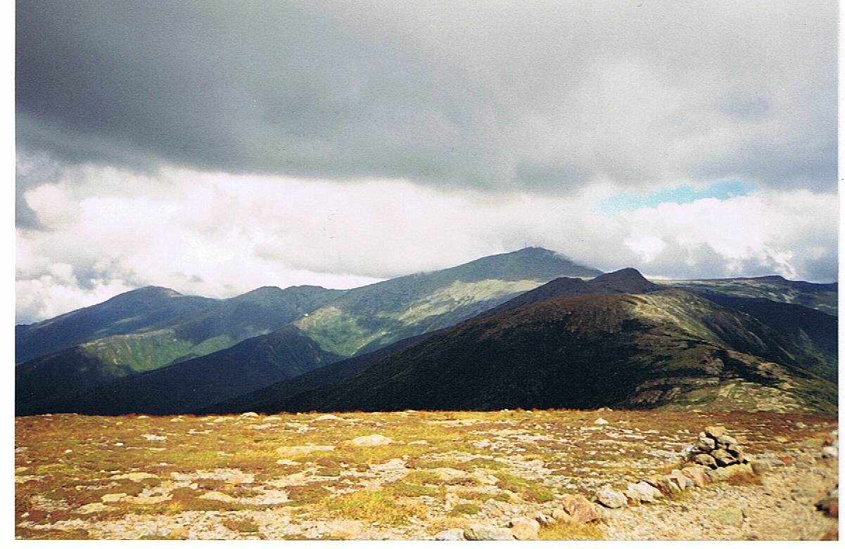
I'm certainly glad I took a lot of pictures yesterday, because there was nothing to see today. I made the cold wet trip up to the summit of Mt. Washington this morning and spent the rest of the day socked in clouds. I could have been walking in the valley for all the feeling of elevation I received. The wind was a pretty steady 30-40 mph and the temperature along the ridgeline was about 40 degrees, so it was cold but bearable. There was a blowing mist/rain all day. It wasn't until well after lunch that I finally dropped below tree line, and back to some warmer temperatures as well as the protection from the wind.
Tonight I'm in a warm dormitory at Pinkham Notch. I'm sharing my room with just one other person, John from Cleveland. He just drove in to begin a week of hiking. Tomorrow I tackle a long twenty-one mile day into Gorham. It's supposed to be a very rainy day tomorrow, so I'm planning on it taking a lot out of me.
14.8 Miles Today, 1841.2 MTD
(174) Thursday, September 11, 8:00PM
I'm through the Whites . . . exactly as planned. Right now I'm sitting in a nice family restaurant in Gorham awaiting my dinner. I finished my pseudo-slack throughout the Whites with a 21-mile marathon. It took me exactly ten hours of solid hustling. I took a fifteen-minute break about six miles in and then again about seven miles further. That was it. I ate three Cliff Bars and a Power Bar to keep me going, and the rest was just good old determination. I passed three other people doing the same section, but I flew right by them. I was in an overdrive zone. The weather was wicked with a very wet fog blowing all day, but never a real downpour. The wind was really whipping on the summits too. I crossed the five peaks of Wildcat Mtn, Carter Dome, the three summits of Carter Mtn, and Moriah Mtn. It was just one long tough day and now I'm in Gorham with less than 300 miles remaining to my hike.
I'm staying in a very hiker-friendly B&B called "Libby's," but is better known in the hiker community as "The Barn." This is due to the fact that the owners permit hikers to sleep in the upstairs of their barn. I opted for a room in the B&B to celebrate completing the Whites and having less than 300 miles to go; also just because I feel like indulging myself whenever the impulse occurs.
I had a nice stay last night at the Pinkham Notch Lodge. I was the real attraction at my dinner table, being a thru-hiker. The meals were served family-style like they were in the huts. I really pigged-out this morning at the breakfast buffet in anticipation of my demanding hike for the day.
Tomorrow is a day off as I have a lot of gear organizing to do to prepare for this last piece of my hike. By some time on Sunday . . . I'LL BE IN MAINE!!!!!!
21.1 Miles Today, 1862.3 MTD
(175) Friday, September 12
Zero-mile day.
(176) Saturday, September 13, 9:00PM
I didn't get out of Gorham until noon today. Does that surprise anybody? I had a very nice stay at the Libby House where Paul and Maggie took very good care of me. I heard about several people that got off the Trail after the Whites due to injuries. Briar, Papa Smurf & Flower all called it quits. One Life & Julie both have banged up knees; his got six stitches, but they're still hiking. Many others took spills. It's looking more and more like my decision to carry a light pack through the Whites was a very wise move.
I had dinner last night with Solophile and Fireball. I hadn't seen them since Virginia. I enjoyed their company. Solophile wanted to hike alone for a while, and Fireball didn't want to hike without her, so he got off. Now he joins her for sections where she permits him. I also caught up with Brian from PA. I last saw him in Virginia as well. I could catch up with several others that interest me, but I don't intend to do it deliberately. I'm just going to hike.
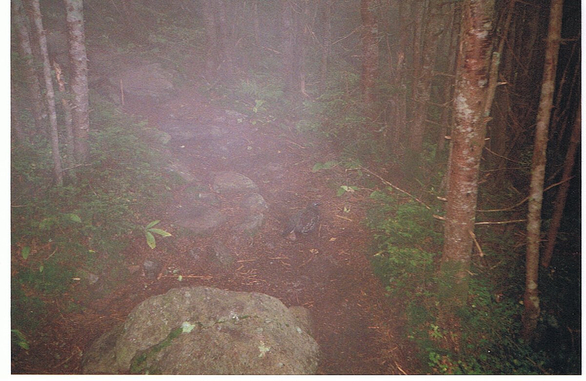
Today was my first day of the Mahoosucs. The trail is very muddy and sloppy. I spoke to some southbounders tonight that said I could look forward to a lot of wet trail in Maine. I guess I'll be hiking with wet feet most of the time. But it doesn't really matter, because . . . I'LL BE IN MAINE!!
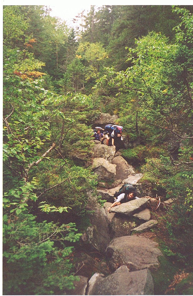
Tomorrow I go through a one-mile section known as Mahoosuc Notch. By most accounts it's the single most difficult mile on the trail. There is very little elevation change as I go through the notch. A glacier formed it, and as the glacier receded it left a gap full of boulders strewn about in the notch. The trail requires me to go over, under and through some of the boulders. It even necessitates the removal of my pack on several occasions. It can take up to two or three hours to cover that single mile. I'll let you know just how difficult it is.
11.8 Miles Today, 1874.1 MTD
(177) Sunday, September 14, 9:30PM
I'm in Maine, and so far Maine is kicking my butt. In short, I consider today the most grueling day of hiking that I've had yet. The closest day that could compare would be the long day into Wood's Hole in southern Virginia. I began hiking this morning at 7:45 and I finished tonight at 7:15, and the total of all my breaks probably didn't exceed 45 minutes. I just hadn't counted on the whole day being so exhausting.
Today was one of those days that required extreme levels of energy and effort. From the start I felt like I was having a sub-par day. I just didn't have enough energy for the hill climbs. On top of that, the trail was extremely challenging. I was spent before even reaching Mahoosuc Notch. While the notch was challenging, for me it just fit in with the hard work of the rest of the day. I fell more times today then the combined total of all falls on the Trail to date.
I never had to remove my pack in the notch, since I opted to go "over" whenever the trail pointed "under." I got through in less than an hour and a half, finding my long legs to be a considerable advantage as I bravely leapt from boulder to boulder. Others were slowed by having to shimmy down one boulder and then crawl up the next, because they couldn't make the jump between them.
I'd like to write more, but I can barely keep my eyes open. I'll try to write more tomorrow.
14.7 Miles Today, 1888.8 MTD
Click on thumbprint photos to see them enlarged.
 |
 |
 |
 |
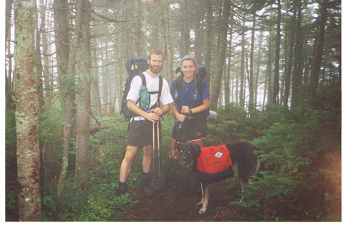
The Mahoosucs--This proved to be my most difficult day on the trail with many falls. I met up with Fireball, Solophile and Micah (her dog). That dog never did warm up to me. |
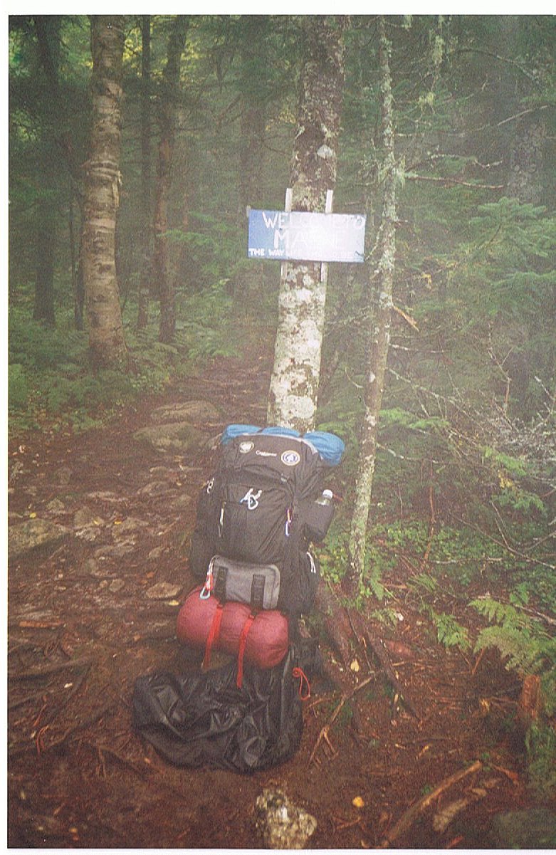
NH-ME State Line--Celebrating the beginning of the 14th and final state. The sign reads: "Welcome to Maine, THE WAY LIFE SHOULD BE." Many of us came to question this assertion in the difficult weeks that followed. |
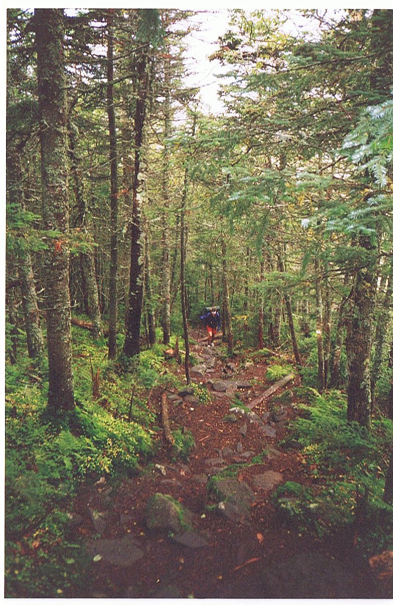
Mahoosuc Notch--This one mile struggle could take as long as 2-3 hours. Shown here are Otter, Brian and Just Dave scrambling over boulders. My long legs were beneficial as I was often able to leap from one boulder to the next. |
MAINE! |